01OCT 10, 2025
Core Architecture
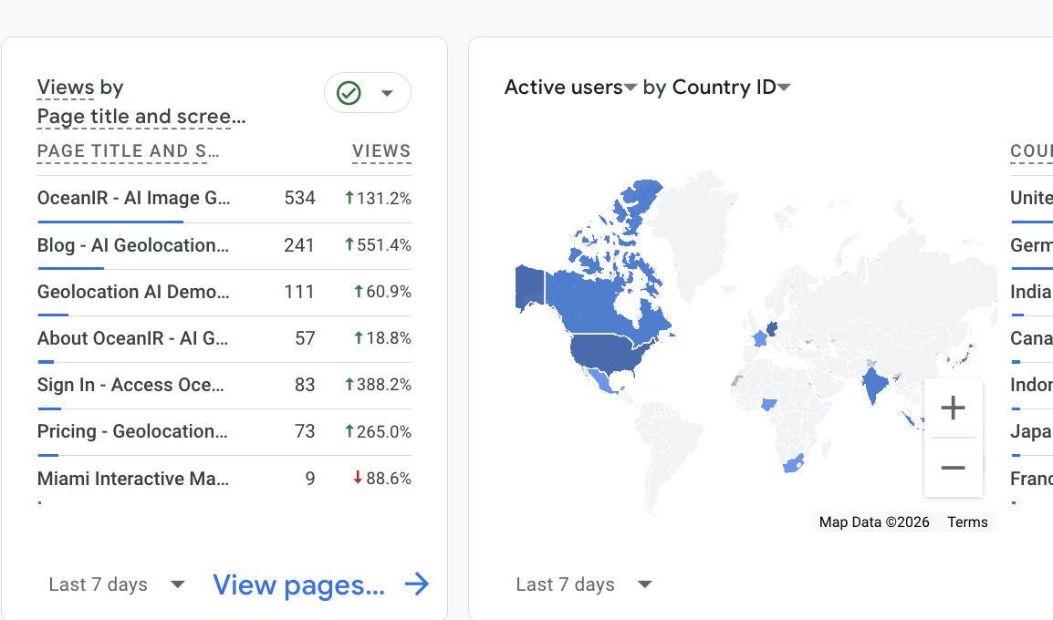
Initial consolidation of the OceanIR engine. Early city-scale visualization tests.
Let's Talk
The inside story of building privacy-first geolocation intelligence. From chaotic prototypes to city-scale precision.
We opened our services in late 2025, but the foundation was laid much earlier. In the beginning, OceanIR was a hypothesis: that privacy-first intelligence didn't have to mean precision-second. We didn't just build a model; we struggled to build a system.
The early days were defined by noise. Our first attempts to map the grid were chaotic—false positives everywhere, latency through the roof, and a model that seemed to hallucinate landmarks that didn't exist.
This is the story of how we turned that chaos into something beautiful: a city-scale grid operating across three major metropolitan areas, processing queries faster than you can blink.
“Privacy-first intelligence doesn't have to mean precision-second.”
— OceanIR Engineering
Six pivotal moments that transformed OceanIR from concept to reality.
Initial consolidation of the OceanIR engine. Early city-scale visualization tests.
First real-world deployment tests. Environmental data collection in controlled zones.
Street-level validation protocols. Calibrating spatial accuracy metrics.
First implementation of the semantic interaction layer. Gesture-to-grid mapping active.
Full-scale interface deployment. Multi-view geolocation feedback loops stabilized.
Miami grid fully operational. Latency reduced to record-low 12ms per query.
Real numbers from production. No benchmarks, no lab conditions—just the metrics that matter when intelligence meets reality.
Every coordinate rounded to 100m precision. User data encrypted with AES-256-GCM. No bulk downloads. No tracking. Intelligence that respects privacy by design.
Miami launched first. Then New York. Then Los Angeles. Each city required new training data, new edge cases, new calibration. Three metropolitan areas, one unified grid.
12ms average query latency. The Orca model processes visual data and returns geolocation intelligence faster than you can blink. No waiting. Instant results.
We're not stopping at three cities. Here's what we're building for 2026 and beyond.
First wave: London, Tokyo, Paris, Berlin, Sydney. Five major metros across three continents with region-specific model tuning.
Multi-modal inputs combining visual data with contextual signals. Expected 2x accuracy improvement over current iteration.
Full API access for enterprise customers. Batch processing, custom model training, and SLA guarantees.
Timeline reconstruction from image sequences. Track changes over time with the same privacy guarantees.
Join the thousands of analysts using OceanIR to ground their intelligence in reality.
Analyze locations with precision. Your data stays yours — processed and deleted immediately.